


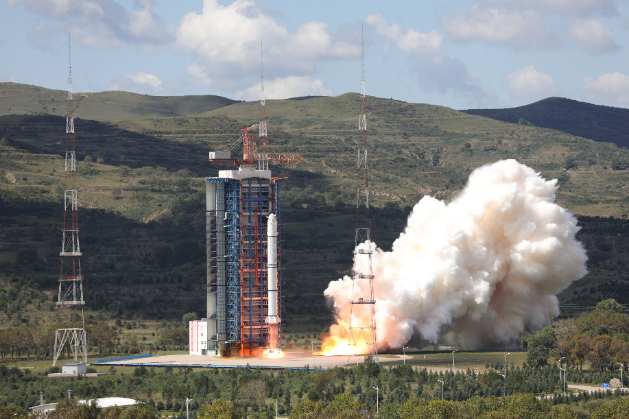
File photo shows a Long March-2C rocket carrying the HY-1C satellite takes off from the Taiyuan Satellite Launch Center in north China's Shanxi Province, Sept. 7, 2018. The satellite HY-1C will help improve understanding of maritime waters and climate change. (Xinhua/Zheng Taotao)
BEIJING, June 29 (Xinhua) -- China's two ocean observation satellites, HY-1C and HY-2B, have completed their in-orbit delivery, according to the Ministry of Natural Resources.
The two satellites represent the country's highest level of marine remote sensing satellites and the delivery signified that China's first batch of ocean observation satellites became operational.
Ling Yueming, vice minister of natural resources, said China will take advantage of both land and ocean observation satellites and create a network for natural resources monitoring, which will support ecological protection.
China will promote satellite data sharing to serve environmental protection, transportation and agriculture as well as other industries, Ling added.
The HY-1C was launched in September 2018 and had a designed life of five years. It will help monitor ocean color and water temperatures, providing basic data for research on the global oceanic environment.
The HY-2B was launched in October 2018 and had a designed life of five years. It can acquire a variety of marine dynamic parameters such as global sea surface wind field, wave height and sea surface temperature. It will provide data to support marine disaster relief, ocean resources utilization and marine environmental protection.
