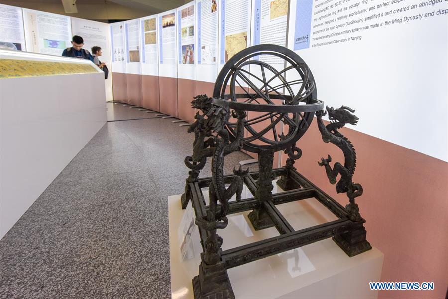
People visit the Chinese navigation exhibition "From Compass to BeiDou" in Vienna, Austria, on June 11, 2019. A Chinese navigation exhibition opens in Vienna International Center on Tuesday, showing how the nation evolves "from compass to BeiDou" - as the exhibition is themed - in time service, surveying, mapping and navigation technologies. (Xinhua/Guo Chen)
VIENNA, June 11 (Xinhua) -- A Chinese navigation exhibition opens in Vienna International Centre on Tuesday, showing how the nation evolves "from compass to BeiDou" - as the exhibition is themed - in time service, surveying, mapping and navigation technologies.
Videos, pictures and physical objects are now on display in the hall of Building C of the Vienna International Centre, and two exhibits would be donated to the United Nations Office for Outer Space Affairs after the exhibition closes after June 21.
The exhibition also features BeiDou, a global satellite navigation system that's independently constructed and operated by China and compatible with other satellite navigation systems.
"As the provider of a global satellite navigation system, we'd like to show the importance of navigation in the development of the society to enhance people's understanding," said Ma Jiaqing, deputy director of the China Satellite Navigation Office, at the opening ceremony of the exhibition.
China began to construct the navigation system, formally known as BeiDou Navigation Satellite System (BDS), named after the Chinese term for the Big Dipper constellation, in the 1990s. It started serving China with its BDS-1 system in 2000 and started serving the Asia-Pacific region with its BDS-2 system in 2012. China will complete the BDS global network by 2020.
"BDS has completed the primary system of BDS-3, and began to provide operational service to global users at the end of last year," Ma added.